


Retiro disponible en 25 the Promenade, Arnside
Normalmente está listo en 24 horas
Cumbria 1000 years of maps
-
25 the Promenade, Arnside
Retiro disponible, normalmente está listo en 24 horas25 the Promenade, Arnside
Carnforth LA5 0HA
Reino Unido01524760091
The name Camri first appears on maps in AD1050. Since then the Lake District and historic counties of Cumberland, Westmorland and Lancashire have been mapped countless times.
Cumbria – 1,000 years of maps features more than 100 charts, surveys and maps from ten centuries of cartography, including:
- the earliest maps – when the world fitted onto a single sheet of A4,
- the first ‘county surveys’ – elaborate in detail, destined for gentry parlours,
- tourist maps – from Thomas West’s viewing stations to Alfred Wainwright’s ‘love letters to the fells’,
- historical maps – illustrative trips to the wad mines of Borrowdale and the first attempts to map Roman Britain,
- travel maps – recording the golden ages of canal, rail and road,
- maps of the Ordnance Survey – and the evolution of a military department into the best map-maker of its time.
From geological plots to nautical charts, audacious forgeries to postal itineraries, town surveys to military plans, Cumbria – 1,000 years of maps not only profiles the evolution of Cumbrian cartography, it also celebrates the rich social history of a much-loved landscape.
También te puede interesar
-
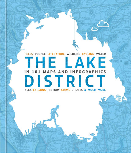
THE LAKE DISTRICT IN 101 MAPS AND INFOGRAPHICS
![THE LAKE DISTRICT IN 101 MAPS AND INFOGRAPHICS - The Coast Office]()
- Precio habitual
- £14.90
- Precio de venta
- £14.90
- Precio habitual
-
- Precio unitario
- por
Agotado -
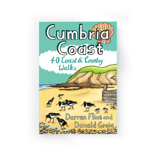
Cumbria Coast: 40 Coast and County Walks
![]()
- Precio habitual
- £6.99
- Precio de venta
- £6.99
- Precio habitual
-
- Precio unitario
- por
Agotado -
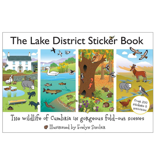
Lake District Sticker Book
![Lake District Sticker Book - The Coast Office]()
- Precio habitual
- £7.50
- Precio de venta
- £7.50
- Precio habitual
-
- Precio unitario
- por
Agotado -
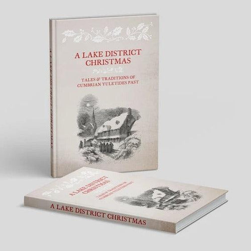
A Lake District Christmas
![A Lake District Christmas - The Coast Office]()
- Precio habitual
- £10.00
- Precio de venta
- £10.00
- Precio habitual
-
- Precio unitario
- por
Agotado


